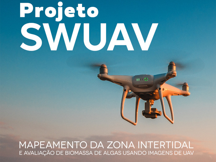


PROJECT
Seaweed assemblages are present in rocky shores around the world, creating very productive ecosystems with high ecological and economic importance. These assemblages include a variety of structuring species that provide habitat, food and shelter for organisms from different trophic levels, supporting complex trophic webs important both ecological and economically.
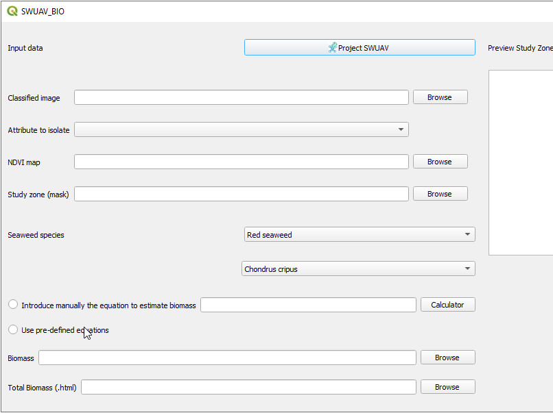
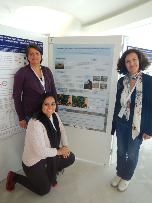
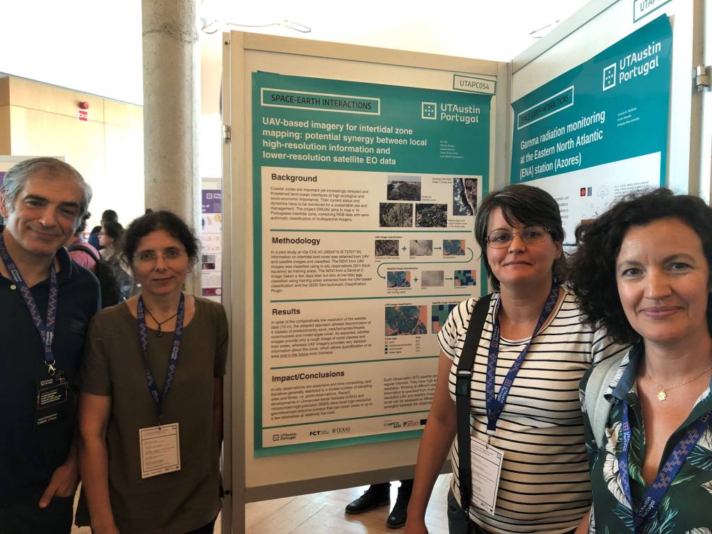
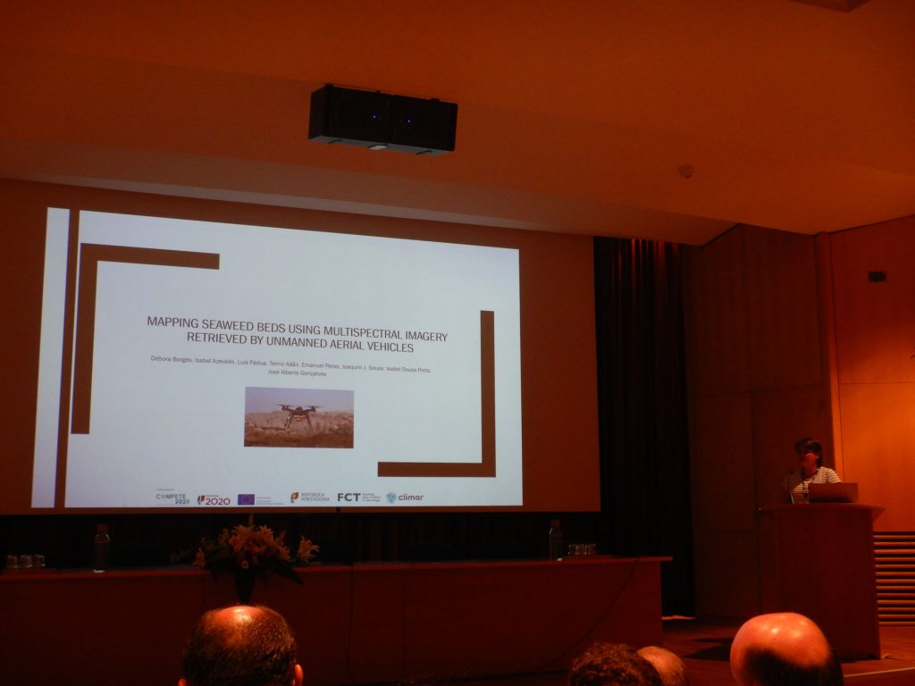
The SWUAV project will develop innovative, reliable yet expeditious, imagery tools to map the intertidal and assess seaweed biomass available in the field, using remotely sensed unmanned aerial vehicles (UAV) images. Aerial images and seaweed percentage cover data will be collected in the field in order to develop and validate a new classification tool, allowing rapid surveys of large extensions of coastal intertidal regions, enabling launching future expedite rocky shores monitoring programmes.
Initially exploratory surveys will be performed for sites and methodologies selection followed by the collection of spectral signatures for each type of objects to classify. Next, aerial imagery will be acquired with UAV equipped with RGB, multispectral and hyperspectral sensors that will feed a QGIS plugin development suitable for automatic classification. Validation of the plugin will be performed by groundtruthing in the field.
By the end of the project, a valuable tool for rapid mapping and quantification of seaweed biomass will be available, improving the knowledge of the local ecosystems, and contributing for efficient and sustainable management and conservation of marine habitats.
Duration: July 2018-March 2022
Reference: POCI-01-0145-FEDER-032233
Funding: COMPETE 2020, Portugal 2020 and the European Union through the ERDF, and by FCT through national funds.