
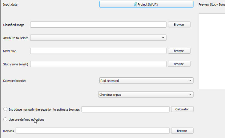
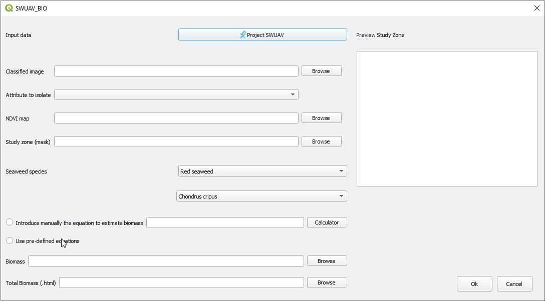
Developed in the scope of the SWUAV project, the SWUAV_BIO tool is a free open-source QGIS plugin that allows to map and quantify intertidal seaweed biomass.
The SWUAV_BIO plugin enables rapid surveys of large extensions of coastal intertidal regions, supporting the launching of future expedite rocky shores monitoring programs. It is, therefore, a valuable tool for rapid mapping and quantifying intertidal seaweed biomass, which improves the ability to increase the knowledge about local ecosystems and contributes to the sustainable management and conservation of marine habitats.
The source code and tutorial of the SWUAV_BIO plugin are hosted in the GitHub repository (https://github.com/swuavproject). The code is open-source and free. All suggestions for improvement are welcome and will be considered by the developer and the research team.